-1-1920x1080.jpg&w=3840&q=75)
Objectives
- Delimit and establish the spatial extent of the approximately 14,500-hectare conservancy.
- Provide accurate geospatial information for conservancy boundary definition.
- Support conservation planning through reliable land survey and GIS data.
- Improve boundary clarity for effective land and natural resource management.
- Provide spatial information to support future conservation and land-use decision-making.
Scope
- Land surveying for conservancy delimitation.
- GIS mapping of the approximately 14,500-hectare project area.
- Collection and processing of relevant spatial data.
- Establishment and verification of conservancy boundary information.
- Mapping of the conservancy extent.
- Integration of field survey information with GIS datasets.
- Preparation of geospatial information to support conservation planning and management.
Methodology
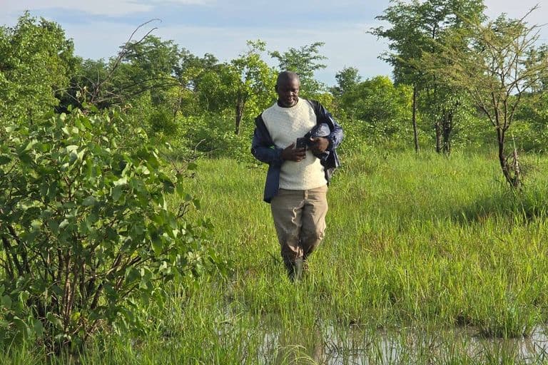
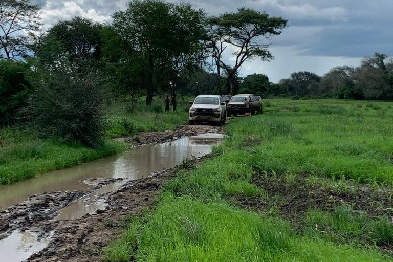
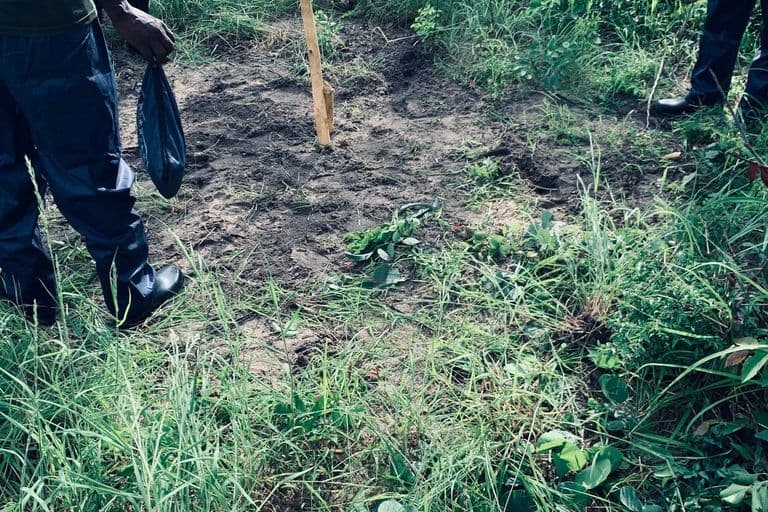
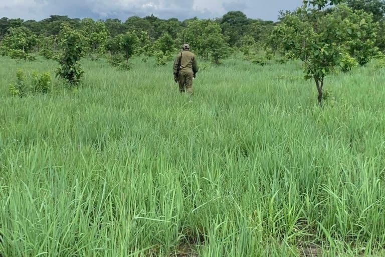
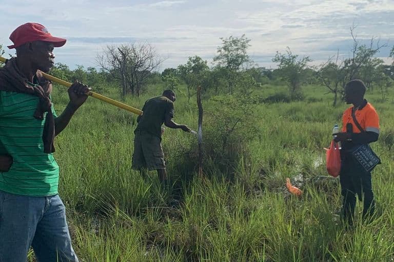
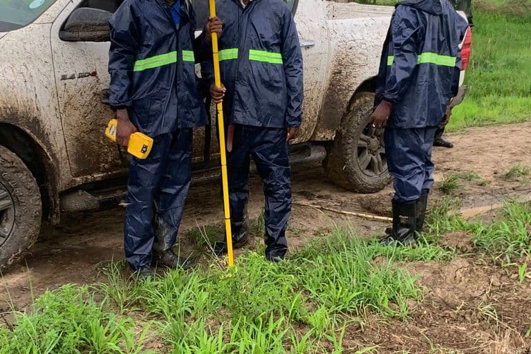
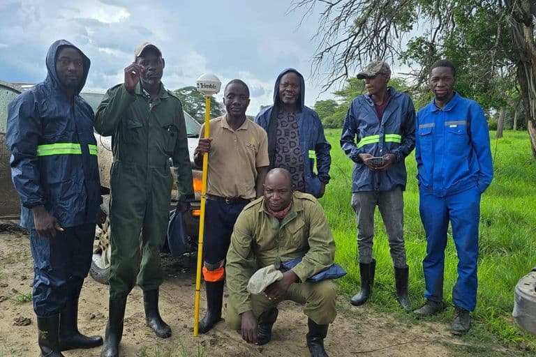
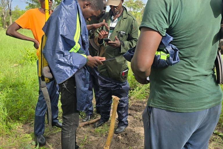
Golden Hill Suppliers provided integrated land surveying and GIS mapping services during the delimitation of the proposed 14,500-hectare conservancy in Sekute Chiefdom. Field survey information was collected and combined with geospatial data to establish and represent the spatial extent of the conservancy.
Survey and GIS data were processed to provide clear boundary information and a reliable spatial representation of the project area. The integration of ground survey observations with GIS mapping provided an important geospatial foundation for conservation planning, boundary management and future land-use decision-making.
Project Description / Overview
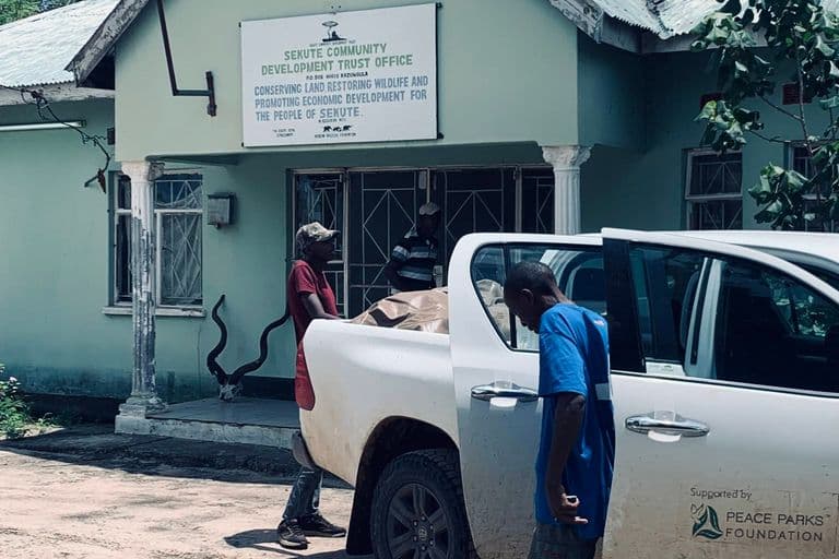
Golden Hill Suppliers provided professional GIS and land surveying services for Peace Parks Foundation during the delimitation of an approximately 14,500-hectare conservancy in Sekute Chiefdom, Kazungula District, Southern Province, Zambia.
Covering approximately 145 square kilometres, the project required reliable geospatial information to define and represent the extent of the conservation area.
Accurate boundary delimitation is an important component of conservation planning. Clearly established spatial boundaries help stakeholders understand the geographic extent of a conservation area and provide a reliable framework for land-use planning, environmental management and sustainable natural resource management.
Golden Hill Suppliers combined field surveying and GIS mapping to support the establishment of accurate conservancy boundary information and the development of useful spatial datasets for the project area.
The project demonstrates our ability to apply professional geospatial services beyond conventional property surveying, particularly for large-scale conservation, environmental, agricultural and natural resource management projects.
Golden Hill Suppliers provides GIS mapping, land surveying, cadastral surveys, boundary delimitation, topographic surveys, drone mapping and geospatial data services across Zambia.
Equipment
- GNSS receivers
Deliverables
- Conservancy boundary delimitation
- Surveyed boundary information
- GIS mapping of the 14,500-hectare project area
- Processed field survey data
- Geospatial datasets
- Conservancy extent mapping
- Spatial information for conservation planning and management
Gallery
-768x512.jpg&w=3840&q=75)