Skip to content

Professional Surveying,GIS & EngineeringSolutions Across Zambia

Zambia's trusted surveying, GIS, spatial planning and engineering consultancycombining modern technology with experienced professionals to deliver accurate spatial data.

Service disciplines
10+
Provinces covered
All 10
Projects completed
500+

Certified Quality for Every Zambian Project

Explore recent surveying, GIS, spatial planning and engineering work delivered across Zambia.

gh12gh8gh19gh9slwz
VIEW OUR PROJECTS

OUR ADVANTAGE

Why Choose Golden Hill?

  • Experienced Professionals

    Licensed surveyors and engineers with deep knowledge of Zambian land regulations and terrain.

  • Modern GNSS & GPS Technology

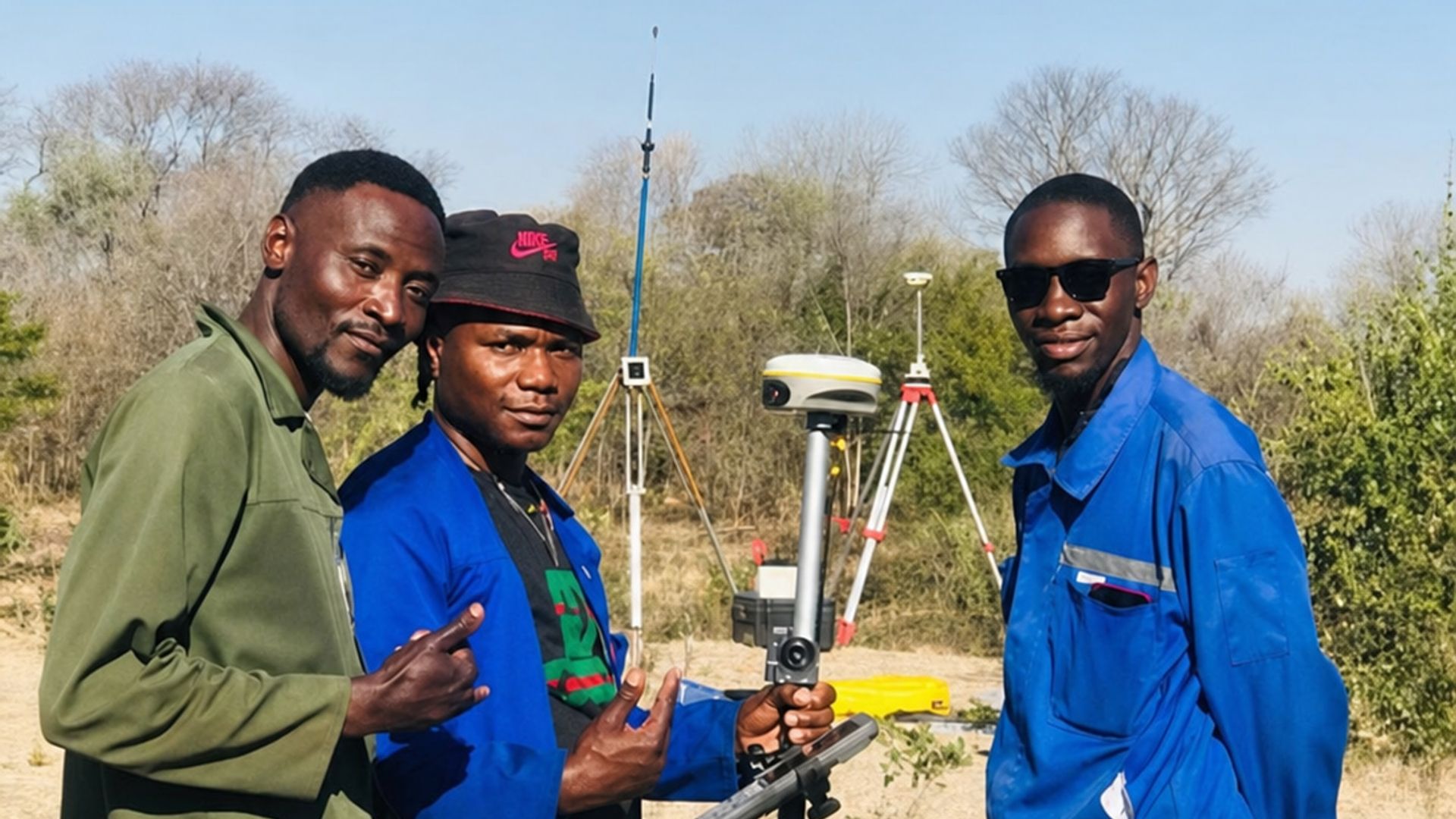
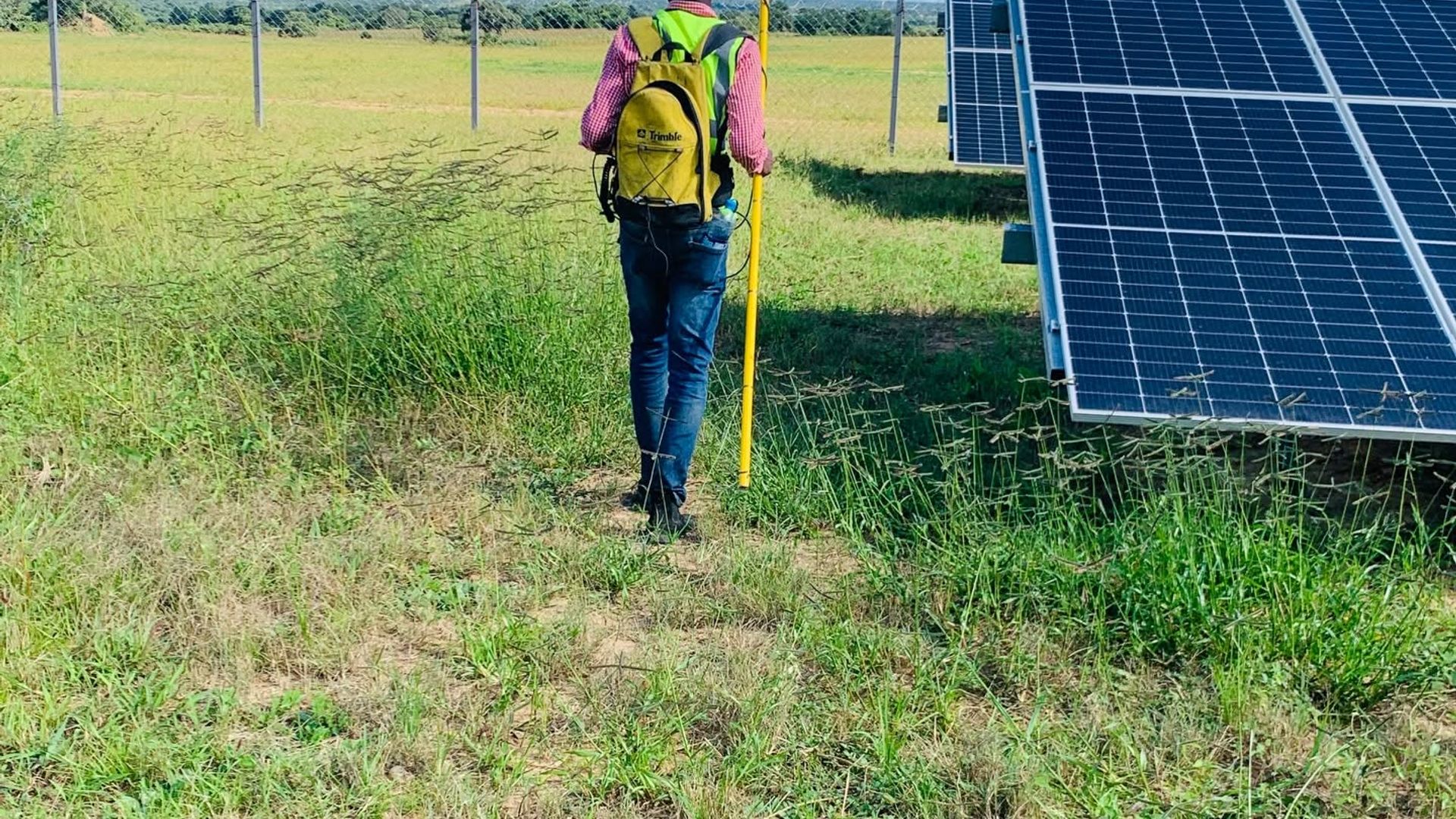
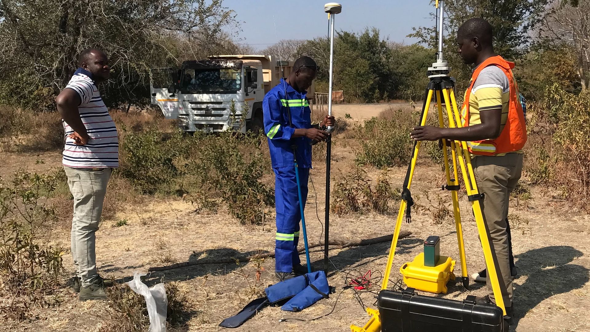
    RTK GNSS equipment, total stations and UAV drones for dependable field accuracy.

  • Accurate & Reliable Results

    Every dataset is rigorously quality-checked before delivery.

  • Fast Project Delivery

    Streamlined workflows and dedicated teams keep engagements moving.

  • Nationwide Coverage

    Operational across all ten provinces of Zambia.

  • Professional Technical Reports

    Clear reports and deliverables prepared for the relevant project requirements.

Victoria Falls Bridge spanning the Zambezi gorge in Livingstone

TRACK RECORD

Proven on Every Project

Projects Completed
500+
Projects Completed
Since Inception
GNSS Accuracy
±2cm
GNSS Accuracy
RTK Precision
Provinces Served
10
Provinces Served
Nationwide
Quote Response
24hr
Quote Response
Guaranteed

SECTORS

Industries We Serve

  • Agriculture
  • Mining
  • Construction
  • Real Estate
  • Infrastructure Development
  • Government Institutions
  • Local Authorities
  • NGOs & Development
  • Forestry
  • Utilities
  • Environmental Management
  • Private Landowners

Client feedback

What our clients say

Feedback from organisations and landowners who trust Golden Hill for accurate, dependable project delivery.

John Mwansa

Project Manager · Horizon Developers Ltd

Golden Hill Suppliers provided exceptional surveying and GIS services for our recent land development project. Their team combined technical precision with clear communication, ensuring that every boundary and spatial detail was captured accurately. The maps and data outputs were not only reliable but also easy to integrate into our planning workflows. Their professionalism and timely delivery gave us confidence at every stage. We highly recommend their services to anyone seeking dependable geospatial solutions.
Zambian landscape representing future surveying and engineering projects

Ready to Start Your Project?

Contact our team today for a free consultation and project quote. We respond within 24 hours.