
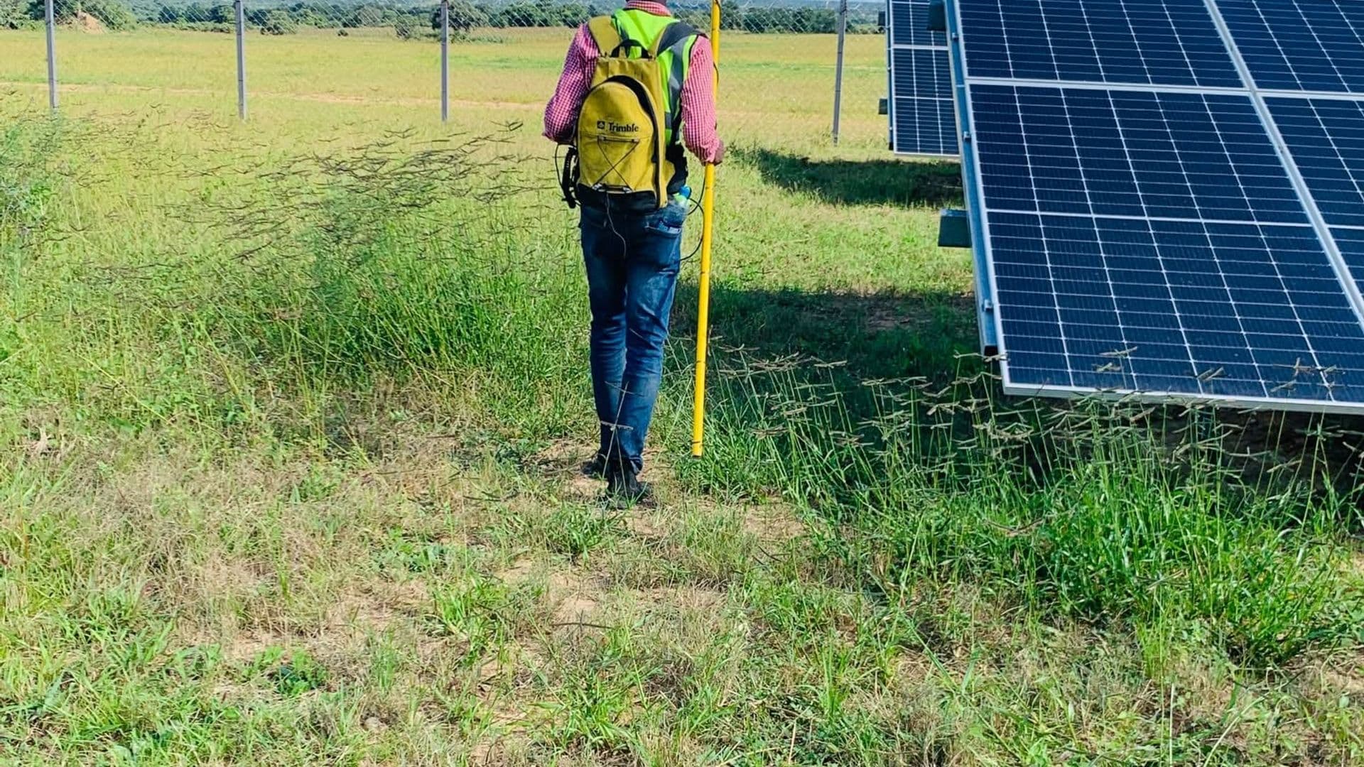
Choma District, Southern Province, ZambiaCompleted March 2026Cadastral Survey, GIS Services
Objectives
- Acquire accurate coordinates of existing structures within the proposed solar plant project area.
- Georeference the proposed solar panel arrays for accurate positioning and layout planning.
- Survey and establish the grid interconnection point connecting the proposed solar plant to the ZESCO national grid.
- Provide reliable geospatial data to support engineering design, infrastructure planning and project development.
Scope
- Cadastral surveying of the proposed solar plant project area.
- Coordinate acquisition for existing structures and site features.
- Georeferencing of proposed solar panel arrays.
- Surveying of the proposed grid interconnection point.
- Processing and preparation of geospatial survey data for planning and engineering use.
Methodology
Golden Hill Suppliers carried out field data acquisition using high-precision surveying equipment and geospatial surveying techniques. Existing structures within the project area were surveyed and assigned accurate coordinates. The proposed solar panel array layout was georeferenced to establish its correct spatial position within the project site.
The team also surveyed the proposed grid interconnection point where power generated by the solar plant is intended to connect to the ZESCO national grid. The collected field data was subsequently processed to provide reliable spatial information for project planning, engineering design and infrastructure integration.