
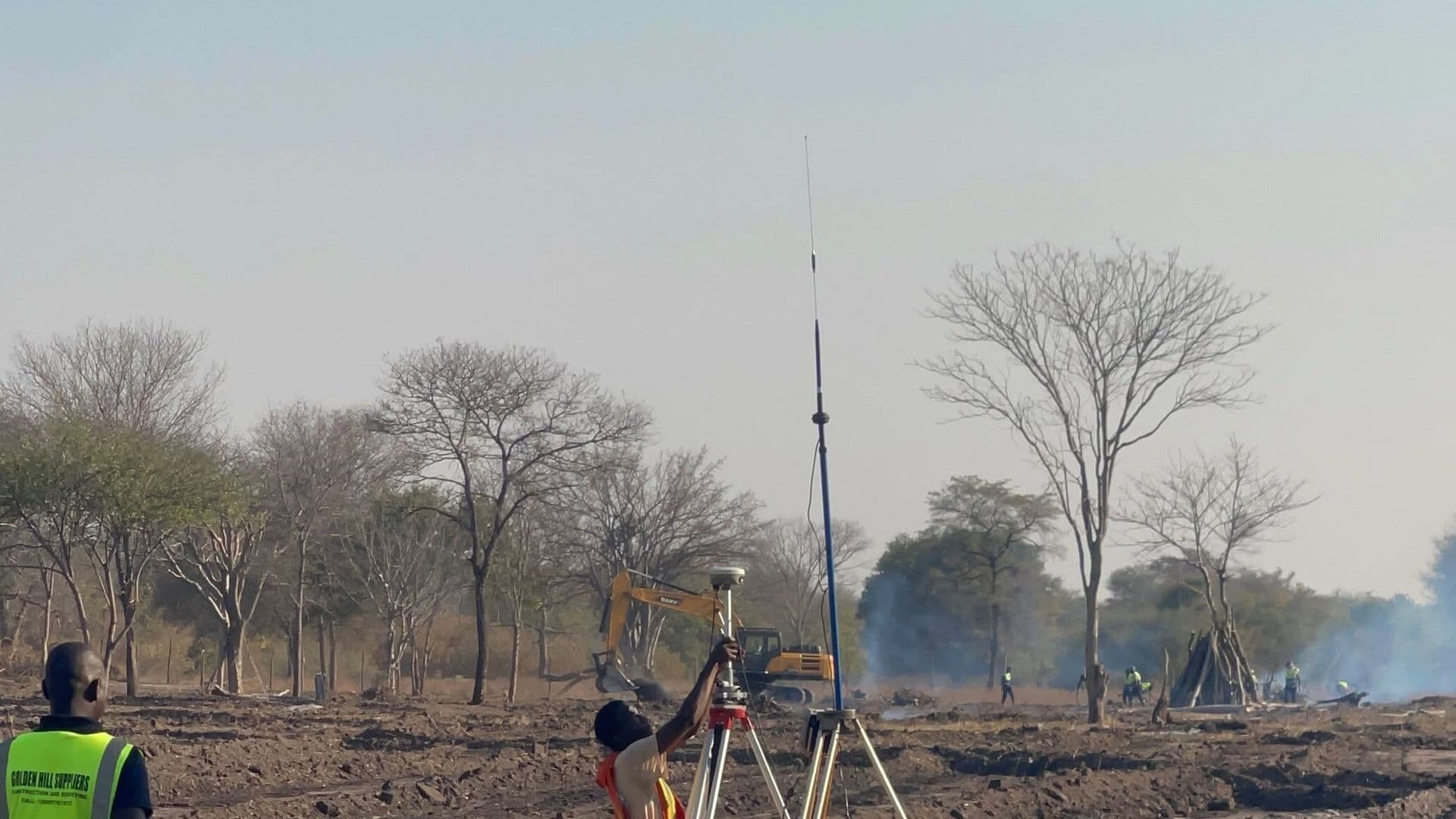
Chongwe, Lusaka ProvinceCompleted March 2024Farm Planning & Agricultural Consultancy, Topographical Survey
Objectives
Lay out a 650 ha irrigation scheme so that water could reach every plot by gravity wherever the terrain allowed.
Demarcate individual smallholder plots on the ground so allocation could proceed without dispute.
Scope
Topographic and contour mapping of the scheme area, irrigation line layout, and block and plot demarcation.
GPS setting-out of plot corners and infrastructure alignments.
Methodology
Contour mapping came first and drove the layout: irrigation mains follow the levels, and blocks were sized around them rather than the reverse.
Plot corners were demarcated by GNSS and recorded, so allocation records and ground marks agree.
Equipment
- GNSS receivers
- Total station
- UAV
Deliverables
- Scheme layout and irrigation plan
- Contour and drainage mapping
- Demarcated smallholder plots with coordinate schedule