
Kitwe, Copperbelt ProvinceCompleted February 2024
Objectives
Capture 1,800 ha of mixed industrial and peri-urban land at a resolution useful for planning and asset identification.
Deliver a properly georeferenced base layer rather than approximately positioned imagery.
Scope
UAV photogrammetric capture of the full area, with surveyed ground control throughout.
Production of orthomosaic, digital surface model and derived contours.
Methodology
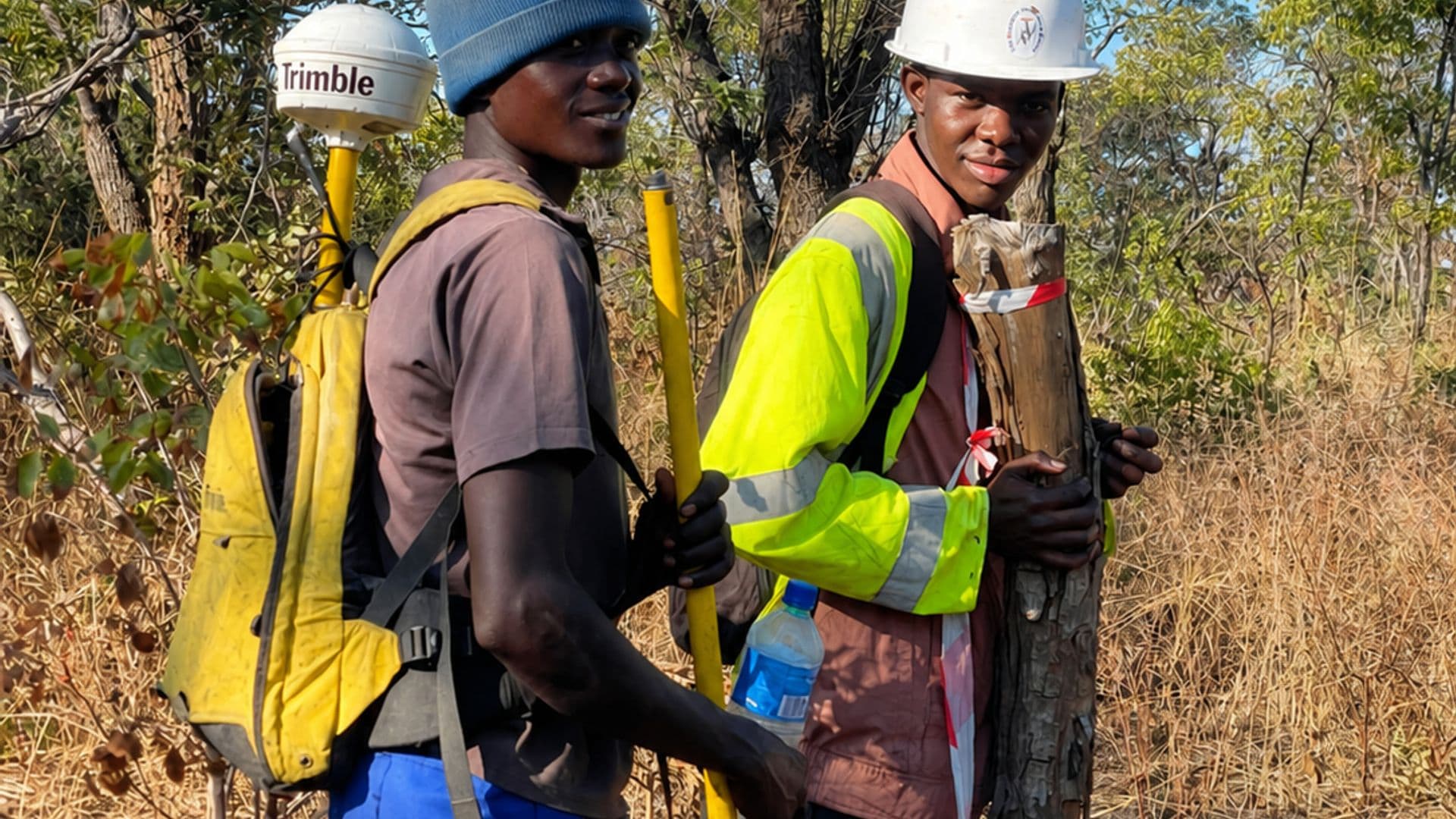
Ground control points were surveyed by GNSS and distributed across the block before flying — that control is what separates a measurable orthomosaic from a picture.
The area was flown in overlapping blocks and processed together to avoid seams across the mosaic.
Equipment
- UAV
- GNSS receivers
- Photogrammetry software
Deliverables
- 5 cm GSD georeferenced orthomosaic
- Digital surface model and contours
- Ground control report