
Objectives
- Establish and accurately define the required cutline on the ground.
- Survey and mark approximately 3 km of road alignment.
- Establish road chainage points at 100 m intervals along the surveyed route.
- Provide accurate ground positioning to support road planning and future infrastructure works.
- Identify relevant site constraints affecting the proposed alignment.
Scope
- Cutline survey and ground establishment.
- Surveying of approximately 3 km of road alignment.
- Road chainage marking at 100 m intervals.
- Identification and positioning of the ZESCO powerline crossing.
- Establishment of appropriate clearance from the ZESCO infrastructure.
- Adjustment of the road starting point where required.
- Collection and processing of survey coordinates.
- Preparation of survey information for planning and future development.
Methodology
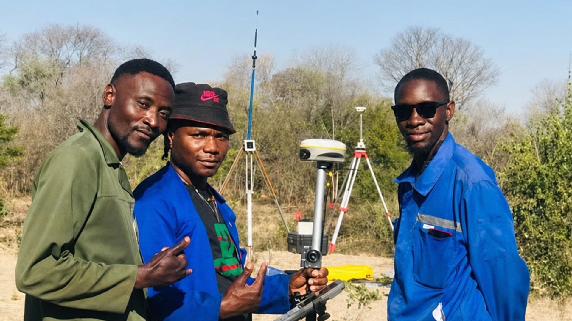
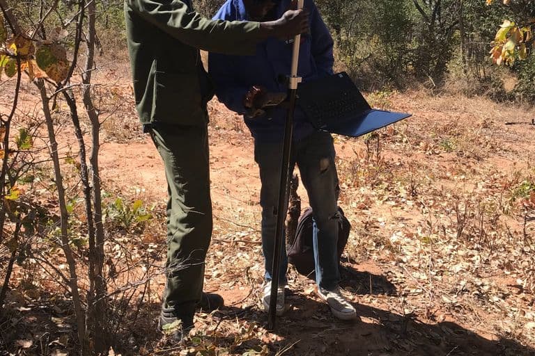
Golden Hill Suppliers carried out the cutline and road chainage survey using high-precision RTK GNSS surveying equipment. The proposed road alignment was surveyed on the ground, with chainage points established at 100-metre intervals along approximately 3 km of the route.
During the field survey, the team identified the intersection of the proposed alignment with an existing ZESCO powerline. The intersection was recorded approximately 1.1 km from the initial Point A. To accommodate the existing infrastructure and required clearance, Point A was adjusted closer to the powerline while maintaining the planned alignment toward Point B.
Survey observations and coordinates were collected and processed to provide reliable spatial information for access planning, road development and subsequent infrastructure works.
Project Description / Overview
Golden Hill Suppliers successfully completed a Cutline Survey and 3 km Road Chainage Marking assignment for BEEFCO HOLDINGS PTY LTD in Mandia Area, Kazungula District, Southern Province.
The project involved establishing the required cutline and surveying the proposed road alignment to provide accurate ground positioning for access and future infrastructure development. Road chainage points were established at 100-metre intervals along the approximately 3 km route, providing clearly defined reference positions for subsequent works.
An important component of the assignment involved identifying existing infrastructure along the proposed alignment. During the survey, the road alignment was found to intersect an existing ZESCO powerline approximately 1.1 km from Point A. The starting position was therefore adjusted while taking the required clearance from the powerline infrastructure into consideration.
The survey was undertaken using a South G7 RTK GNSS system, enabling accurate positioning and efficient establishment of the required survey points.
Projects of this nature demonstrate the importance of professional surveying before road, agricultural and infrastructure development begins. Accurate cutline establishment and road chainage provide reliable ground references that can assist with construction planning, access development, earthworks and overall project execution.
Golden Hill Suppliers provides professional cutline surveys, road chainage marking, cadastral surveys, topographic surveys, GIS mapping, engineering surveys and farm planning services across Zambia.
Equipment
- South G7 RTK GNSS system
Deliverables
- Established cutline
- 3 km surveyed road alignment
- Chainage points marked at 100 m intervals
- Survey coordinates for established points
- ZESCO powerline intersection identified
- Road alignment and infrastructure clearance information
- Processed survey data
- Final survey report
Gallery
-768x512.jpg&w=3840&q=75)
-768x512.jpg&w=3840&q=75)
-768x512.jpg&w=3840&q=75)
-768x512.jpg&w=3840&q=75)