Chipata, Eastern ProvinceCompleted November 2023Spatial Planning, GIS Services
Objectives
Set out a land-use framework for the peri-urban areas absorbing Chipata's growth.
Ground the plan in current settlement, tenure and terrain rather than in projection alone.
Scope
Mapping of existing land use, settlement and tenure across the study area.
Zoning proposals, structure planning and a report prepared for authority consideration.
Methodology
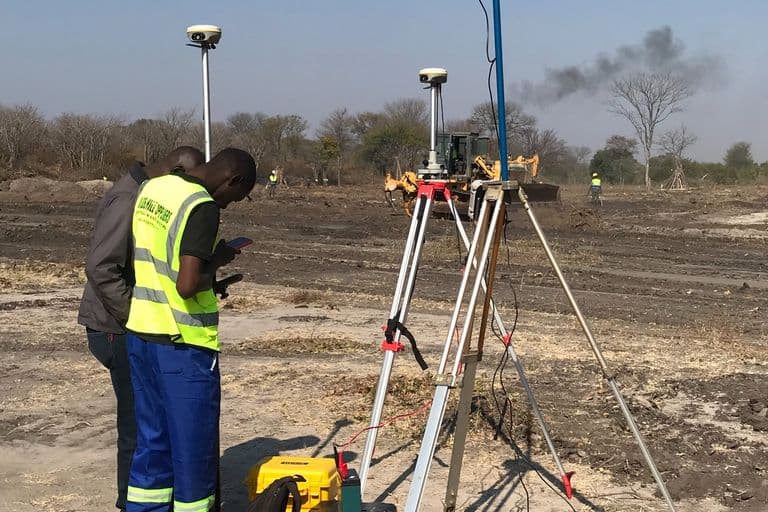
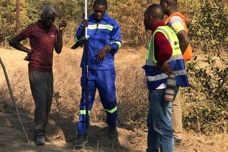
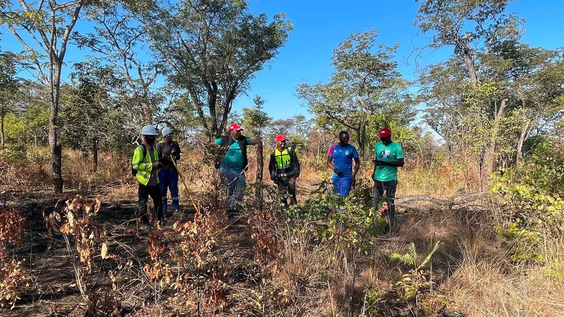
Existing conditions were mapped from imagery and field verification before any zoning was proposed, so the plan started from what is there.
Proposals were developed with the local authority and traditional leadership in consultation rather than presented for comment at the end.
Equipment
- GNSS receivers
- GIS software
- UAV
Deliverables
- Land-use and zoning plans
- Existing conditions mapping
- Planning report for authority submission
Gallery