
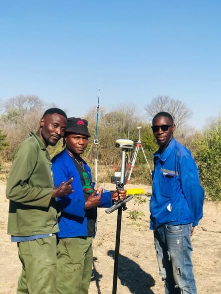
Kafue, Lusaka ProvinceCompleted May 2024
Objectives
Subdivide a single 4,200 ha holding into 42 parcels, each capable of being registered and titled independently.
Lay the plots out so every one had road access and a fair share of the block's water and soil quality.
Scope
Survey of the parent parcel and verification of its registered extent against existing beacons.
Subdivision layout, beacon placement on all new boundaries, and preparation of diagrams for approval.
Methodology
The parent boundary was recovered from the existing survey record and re-observed by GNSS before any internal lines were set.
Plot layout was designed against contour and soil mapping so that access roads followed the terrain rather than cutting across it.
Equipment
- GNSS receivers
- Total station
- UAV
Deliverables
- 42 approved subdivision diagrams
- Beacons placed on all new boundaries
- Layout plan and coordinate schedules