Objectives
- Establish accurate and clearly defined boundaries for the project camp.
- Survey and define the boundaries of designated quarry sites supporting road construction.
- Assess the remaining aggregate reserves within the quarry area.
- Provide reliable spatial and reserve information to support construction planning, material management and project execution.
Scope
- Cadastral survey of the project camp.
- Cadastral surveys of two quarry sites.
- Coordinate acquisition and boundary establishment.
- Preparation of site plans for the surveyed areas.
- Quarry reserve assessment.
- Topographic and spatial data collection within the quarry area.
- Assessment of remaining aggregate material.
- Processing and preparation of survey data for project planning.
Methodology
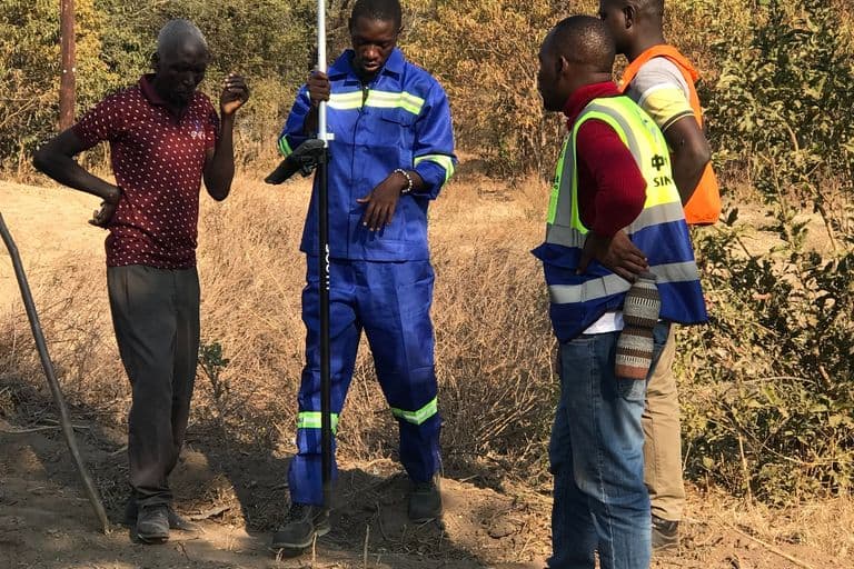
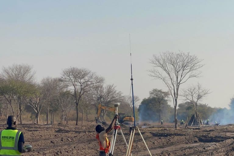
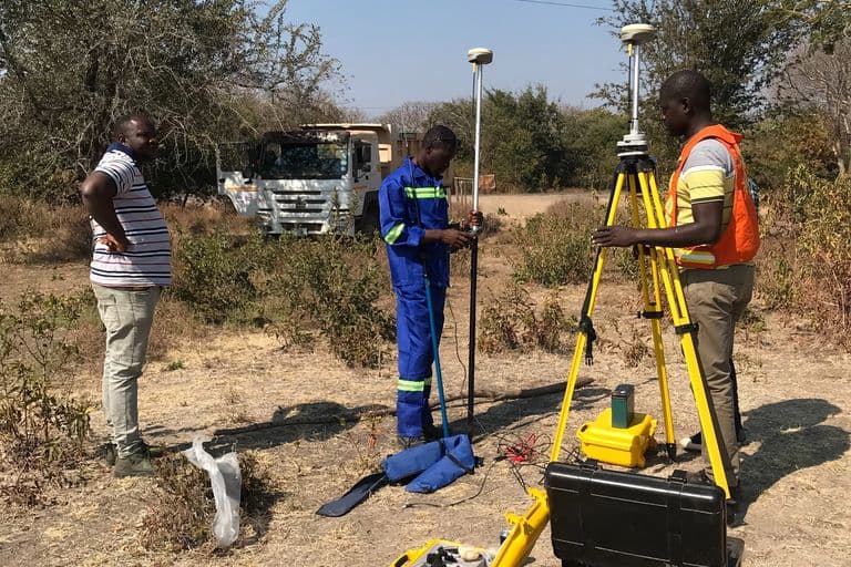
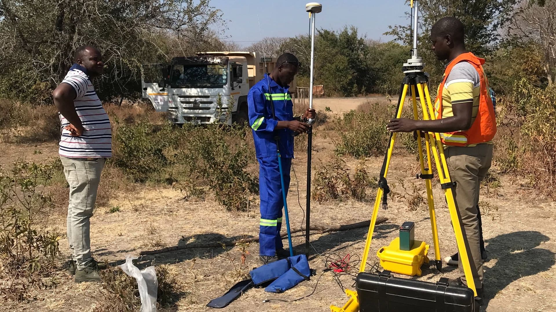
Golden Hill Suppliers conducted field surveys across the project camp and designated quarry sites using high-precision surveying equipment and geospatial techniques. Survey observations and coordinates were collected to establish the spatial extent and boundaries of the respective project areas.
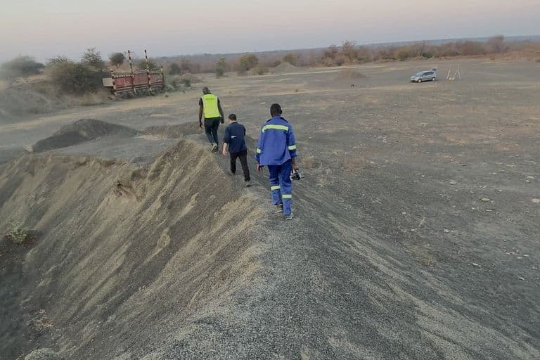
For the quarry reserve assessment, field measurements and terrain data were collected and processed to evaluate the remaining aggregate reserves. The resulting spatial information provided a basis for understanding available construction material and supporting material planning for ongoing road works.
The collected survey data was subsequently processed into cadastral and project-specific deliverables, including site plans and reserve information for use in construction planning and project execution.
Equipment
- GNSS receivers
- Field data collectors
- GIS software
Deliverables
- Cadastral survey data for the project camp
- Cadastral survey data for two quarry sites
- Site plans for the surveyed project areas
- Boundary and coordinate information
- Quarry reserve assessment
- Remaining aggregate reserve information
- Processed geospatial and terrain data
- Survey information for construction and material planning
Gallery