
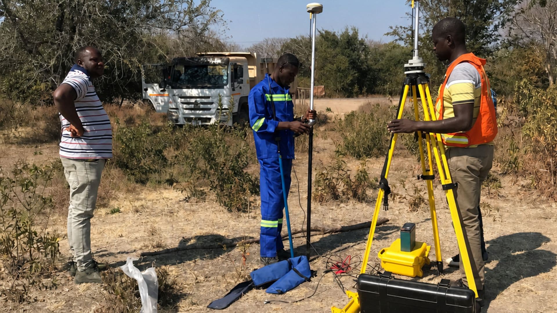
Livingstone, Southern ProvinceCompleted July 2023
Objectives
Build a single authoritative spatial database for the city, replacing several inconsistent record sets.
Leave the local team able to maintain and extend the database without external support.
Scope
Field capture and digitising of roads, water and power infrastructure, land parcels and public facilities.
Database design, metadata documentation and staff handover training.
Methodology
Existing records were georeferenced and reconciled first, so field capture was targeted at what was missing or contradictory rather than repeating work already done.
Data was structured against a documented schema from the outset, which is what makes later maintenance possible.
Equipment
- GNSS receivers
- Field data collectors
- GIS software
Deliverables
- Structured citywide GIS database
- Thematic map series
- Metadata, data dictionary and training handover