
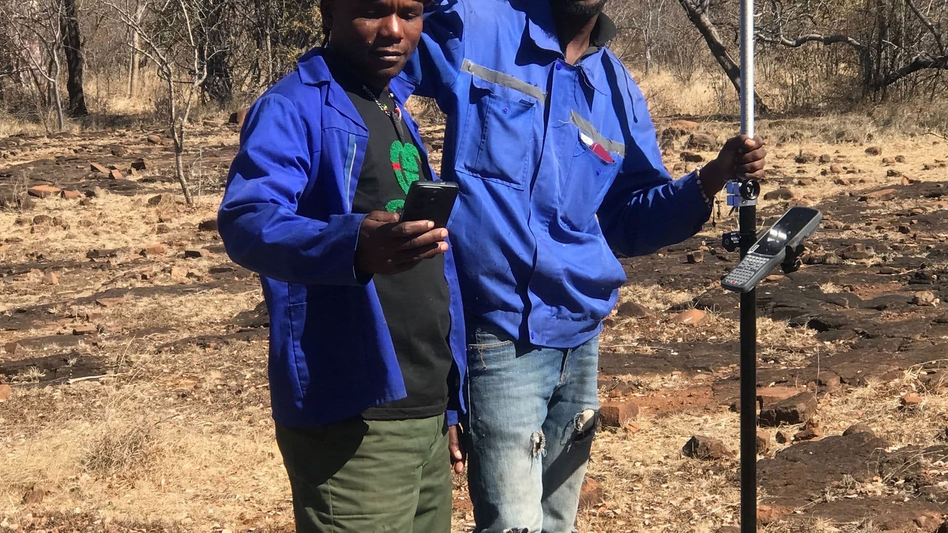
Lusaka, Lusaka ProvinceCompleted August 2024
Objectives
Provide accurate chainage and cross-section data along 14 km of urban ring road to support detailed design.
Establish survey control that later construction stages could be set out from without re-surveying.
Scope
Continuous chainage along the full 14 km alignment, with cross-sections at regular intervals and at every change of grade.
Capture of existing road furniture, drainage structures, services and adjacent development within the corridor.
Methodology
Primary control was established by GNSS observation tied to the national network, then densified along the corridor for total station work.
Cross-sections were captured by total station where accuracy mattered most, with GNSS used on open verges to keep pace with the programme.
Equipment
- GNSS receivers
- Total station
- Digital level
Deliverables
- Chainage and cross-section drawings
- Digital terrain model of the corridor
- Survey control scheduleFor reuse during construction setting-out.