
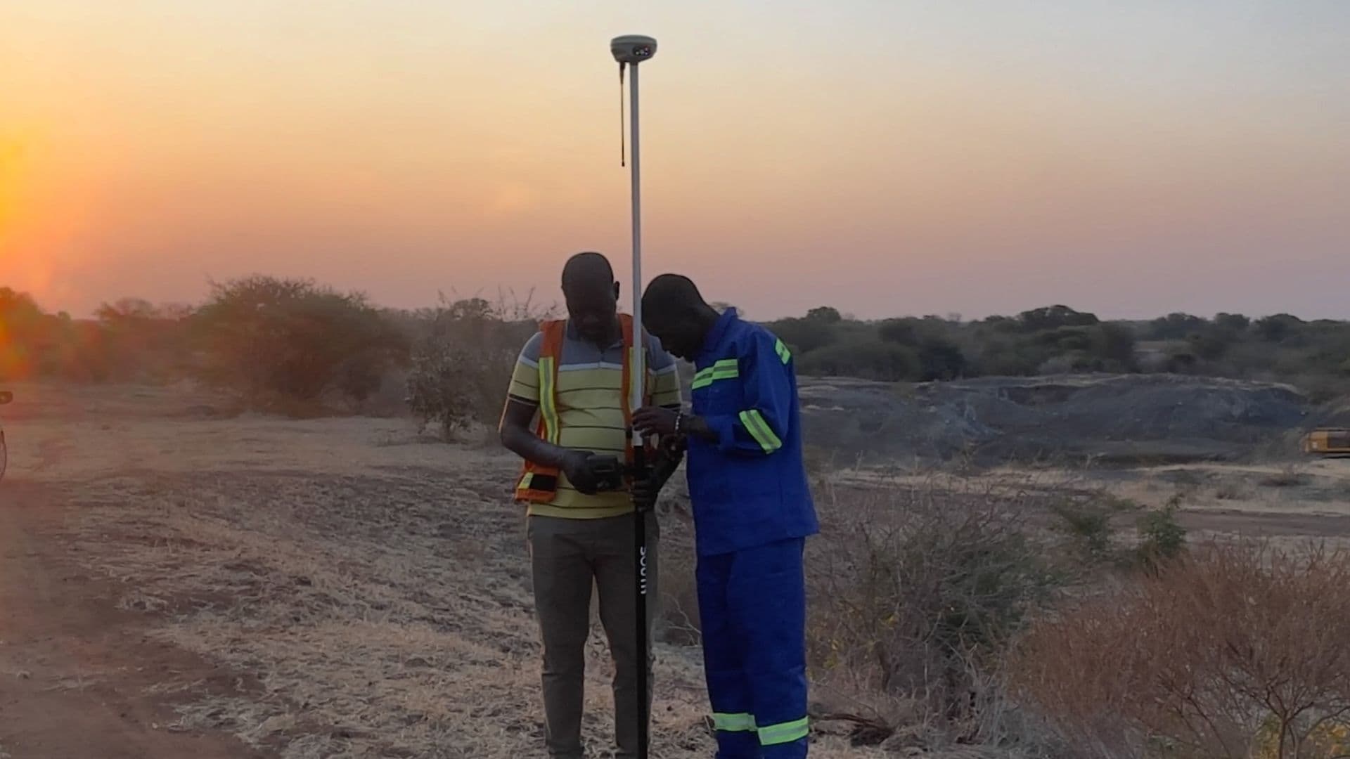
Lusaka South MDD, Lusaka ProvinceCompleted June 2024Site Plan Preparation, Cadastral Survey
Objectives
Produce council-ready site plans for 78 plots in a single residential estate.
Keep the drawings consistent across the estate so the authority could review them as a set.
Scope
Survey of each plot, confirmation of boundaries against the approved layout, and preparation of individual site plans.
Compilation and submission of the drawing set to the local authority.
Methodology
Estate control was established once and reused for every plot, which kept the drawings consistent and the fieldwork efficient.
A single drawing template was applied across all 78 plans so that the review authority saw one format rather than 78 variations.
Equipment
- GNSS receivers
- Total station
Deliverables
- 78 individual site plans
- Boundary and setback dimensions per plot
- Submission set lodged with the local authority