
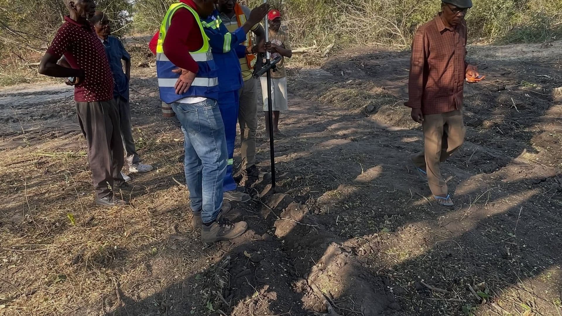
Ndola, Copperbelt ProvinceCompleted September 2023Topographical Survey, Engineering Survey
Objectives
Provide the design team with a full topographic picture of a 120 ha industrial site at 1:1000.
Quantify earthworks and model surface drainage ahead of platform design.
Scope
Detail survey of levels, existing structures, services and vegetation across the site.
Drainage analysis and cut-and-fill volume calculation against proposed platform levels.
Methodology
Ground survey was combined with UAV capture: the drone covered open areas quickly while the total station picked up services and hard detail it could not resolve.
Volumes were computed from the measured surface against design platforms, with the surfaces issued alongside the figures so they could be checked.
Equipment
- GNSS receivers
- Total station
- UAV
- Digital level
Deliverables
- 1:1000 topographic drawing
- Digital terrain model and contours
- Drainage analysis and earthworks volume report