
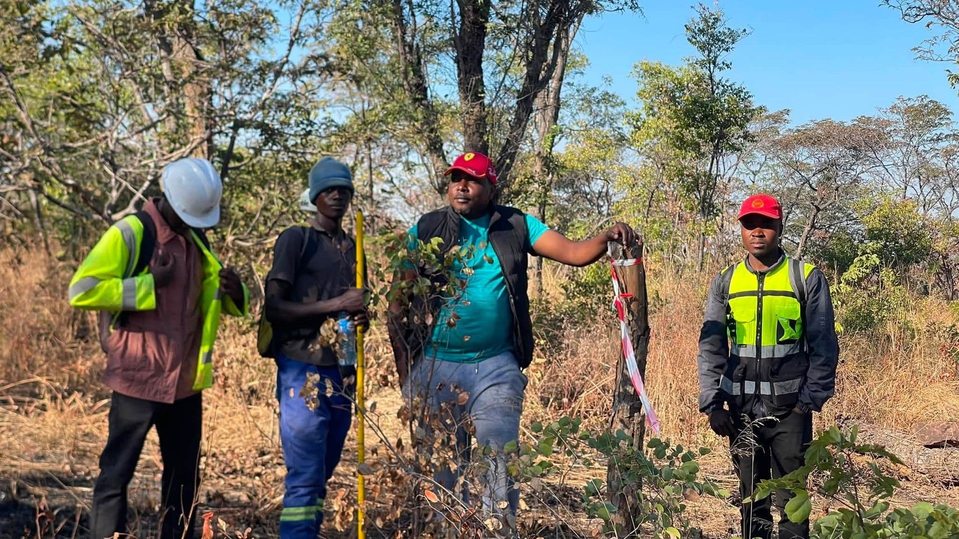
Solwezi, North-Western ProvinceCompleted October 2023Boundary Survey (Cut-Line)
Objectives
Demarcate the full licence boundary on the ground so the concession extent was visible and defensible.
Produce a survey record adequate for licence compliance and for any future encroachment question.
Scope
Clearing and marking of the boundary line around a 6,000 ha licence area through dense bush.
Placement of boundary beacons at all corners and at intervals along the line.
Methodology
The line was set out under continuous GNSS control, with the cutting crew working directly to surveyed positions rather than to compass bearings.
Vegetation density set the pace, so the programme was resourced around clearing rather than measurement.
Equipment
- GNSS receivers
- Handheld GPS
- Clearing equipment
Deliverables
- Cleared and beaconed boundary line
- Survey plan and coordinate schedule
- GPS track record of the demarcated line